The term “location” seemingly means different things in different hyperlocal apps:
- Locality / neighborhood e.g. Kalyaninagar
- Address e.g. B1-504 Silver Oak, Kalyaninagar, …
- Pickup / delivery point e.g. Flat # 504 on the fifth floor of B1 building in Silver Oak society in Kalyaninagar… (cf. footnote 1).
I’ve been using Location Based Service apps for over a decade and I’m still not sure what an LBS app means when it says “location”.
This is not the only location-related bugbear in hyperlocal apps. I’ve encountered tons of other friction hotspots while entering and editing locations in LBS apps:
- Ola rideshare app. It resolves my home to a different housing complex (“Neelanjali Society”) half a kilometer away. Even if I overwrite its automatic selection with the correct address, it goes back to the other place. I stopped using Ola because of this problem.
- Rapido rideshare app. While it picks up my home location correctly, it exhibits Ola-like bloomers at some other locations.
- Pizza Hut delivery app. It’s a major PITA to enter the address, as I highlighted in my blog post entitled Why COD Still Rules Ecommerce in India.
- Swiggy food delivery app. It correctly resolves my primary home location but goes totally bonkers at my secondary home at another neighborhood in the same city.
- Dunzo runner app. It’s a PITA to enter the address (BTW the service still works for me although the company is reportedly circling the drain).
- Swiggy Genie runner app. While the UX for entering a new address is not bad, it’s a major PITA to edit an existing address. The only way to change an address seems to be to delete and re-enter it.
Of all the LBS apps I’ve used, Uber handles location the best. The rideshare giant correctly resolves my primary home, secondary home and almost all other locations across multiple cities. However, it’s not entirely without flaws.
A few years ago, totally out of the blue, Uber started resolving my secondary home to a building on the opposite side of the road. I complained to Uber. I got no response. I then reached out to a close friend who works in the Google Maps SBU of Alphabet Inc. at its Moutain View HQ. He tried the same address on his side and confirmed that Maps persisted it i.e. it did not auto-resolve it to another location. I switched to Ola, which worked fine there.
Then, after a few weeks, the problem mysteriously vanished and Uber once again started resolving that location correctly. I switched back to Uber.
Many of the aforementioned apps have excellent UX. I found it hard to believe that they’d have just bungled the location functionality. Therefore, I began to wonder if there were some problems with the fundamental location technology itself.
Turns out there are. After some research, I discovered a long list of factors that hamper smooth resolution of location by GPS / hyperlocal apps e.g.
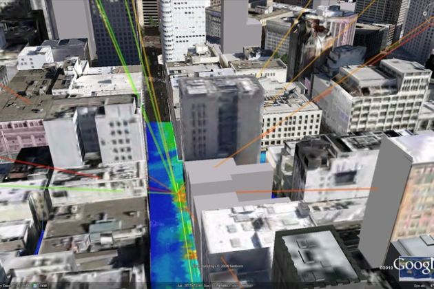
- Fundamental limitation of GPS technology. We tend to take the blue dot displayed by GPS as gospel truth but, even when GPS and data are working perfectly well, the blue dot can deviate from our real location by as much as 200 feet, depending upon weather, cloud cover, density of high rise buildings in the vicinity, etc. (Source: How Uber is moving the “blue dot” and improving GPS accuracy in big cities).
- Google’s unilateral renaming of localities (Source: As Google Maps Renames Neighborhoods, Residents Fume)
- GPS outage in many parts of the world (Source Mysterious GPS outages are wracking the shipping industry)
- Temporary issue in the API connectivity between the LBS app and Google Maps (Source: My guess).
I’m putting my money on #4 for the temporary glitch on Uber app because competitor Ola did not have this problem during the same period. Neither did other LBS apps like Swiggy and Dunzo that use Google Maps.
Over time, individual apps have introduced features to overcome the basic challenges related to location. More on that in a follow-on post. Watch this space!
RELATED READING:
- How Does Google Maps Know Traffic Conditions In Realtime?
- How Does Turn By Turn Navigation Work?
- Hardware Matters
- Three Ways To Hide Your Secret Sauce
- How To Remove Features And Increase A Product’s Appeal
FOOTNOTE(S):
- I always thought GPS supported only X (length) and Y (breadth) coordinates i.e. identified points only on the surface of earth. I recently learned that it also supports Z (height) coordinate. I tested this recently and I can confirm that it does: After finishing my meeting on the third floor of a building, I fired up my Uber app before reaching the ground floor; the app showed my location as “304, Pentagon 5”. The building name Pentagon 5 reflects X and Y coordinates; the door number 304 shows that GPS supports Z coordinate as well. While it’s silly to expect a cab to pick me up from my house on the fifth floor of my apartment building, it’s conceivable that airports, malls and other buildings can have cab pickup points at different levels (e.g. arrivals of different airlines’ flights at different levels). Since GPS can resolve height, the driver should know whether he needs to pick up a passenger from the third or seventh level. I’ve yet to see this happening in any building in actual practice. If you have, please share in the comments below. Thanks in advance.